Tahoe Ski Traverse

April 5th - 10th 2009, 60 miles from route 80 in the north to route 50 in the south

>Main TSC page

Pictures and reports from other ski trips


Summary

map showing general location of the traverse from route 80 in the north down to route 50 in the south

General location


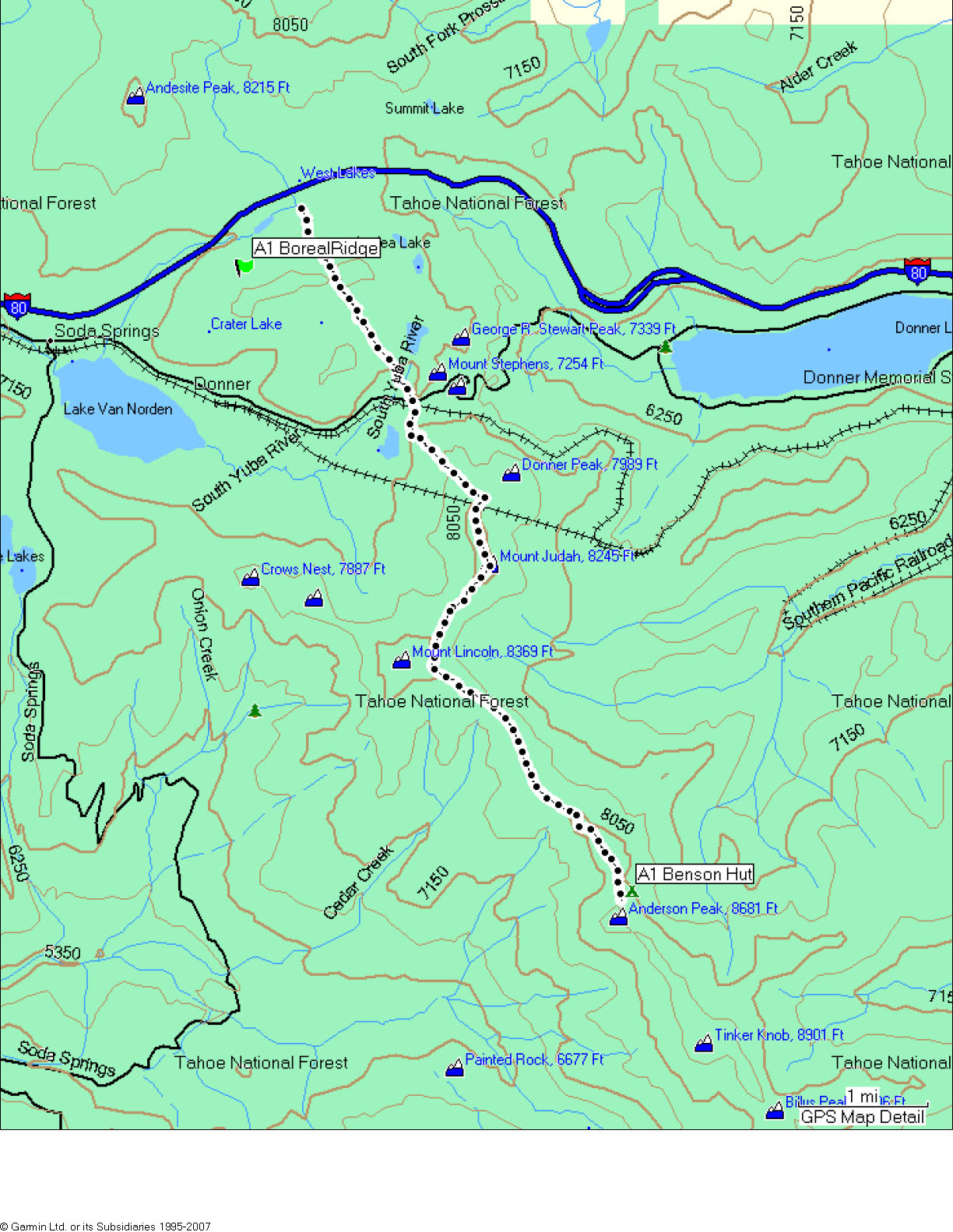
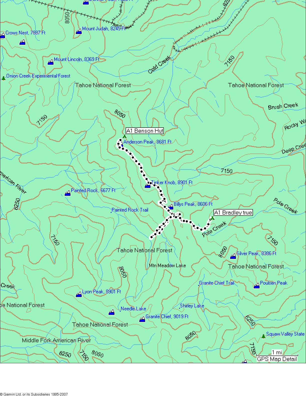
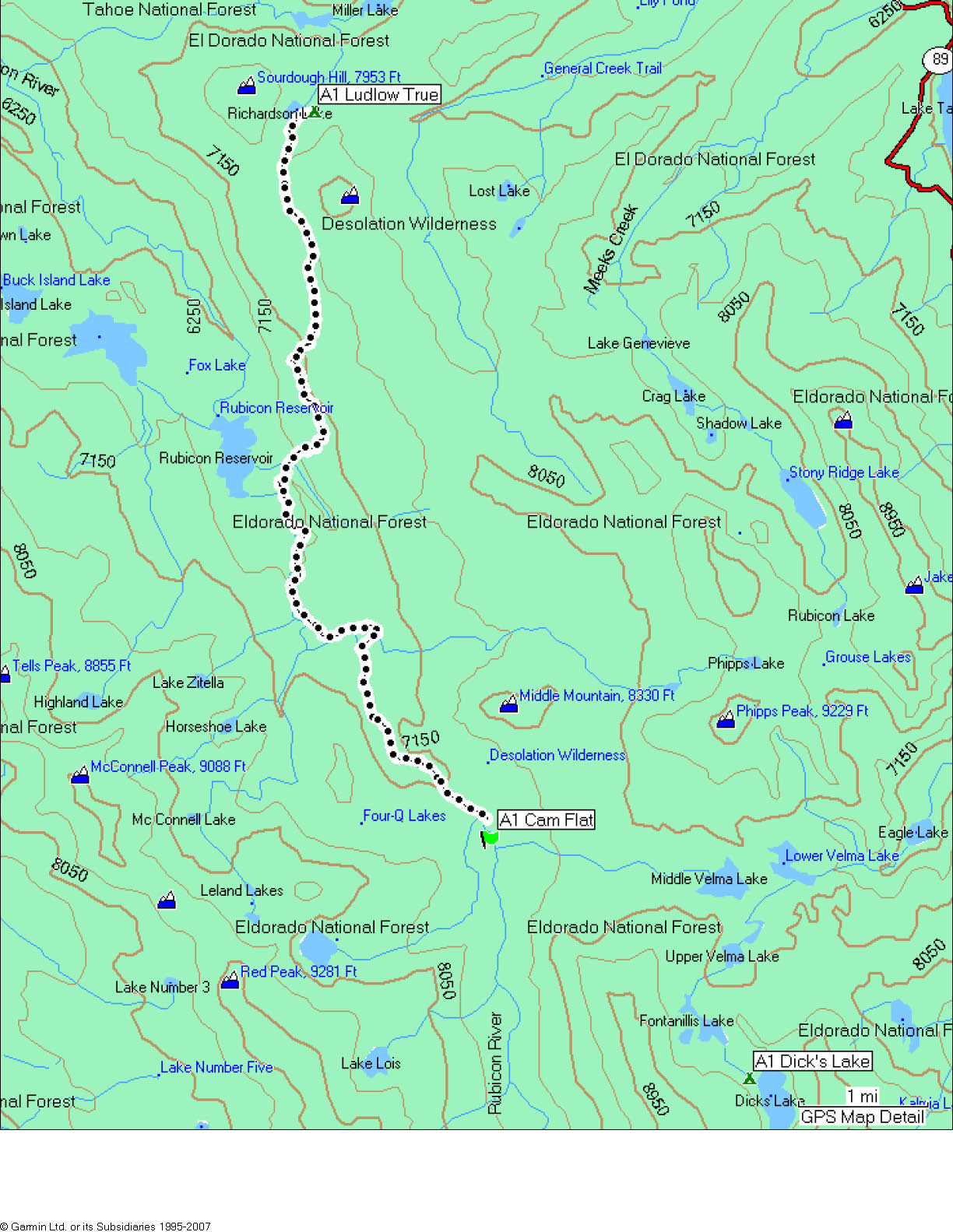
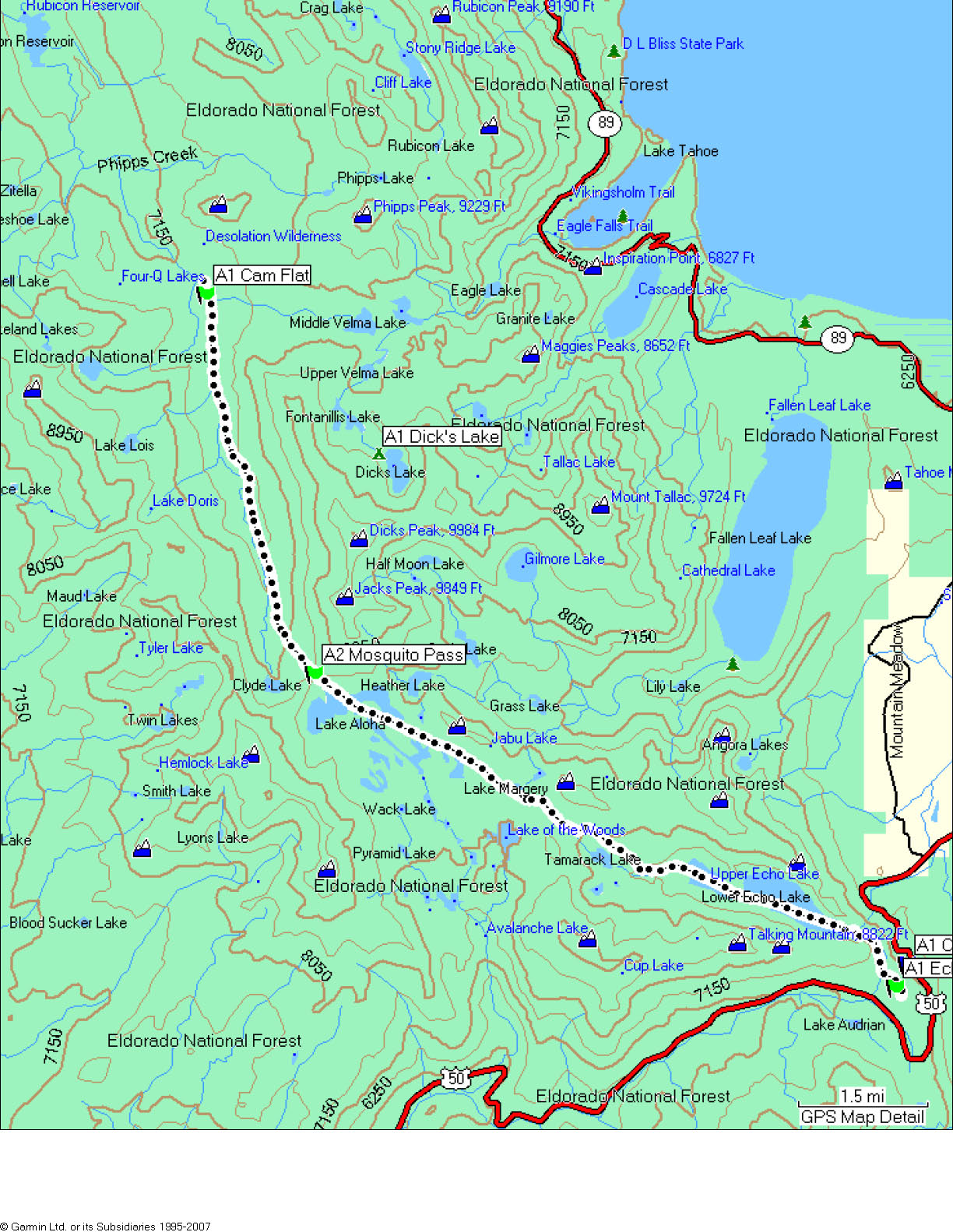
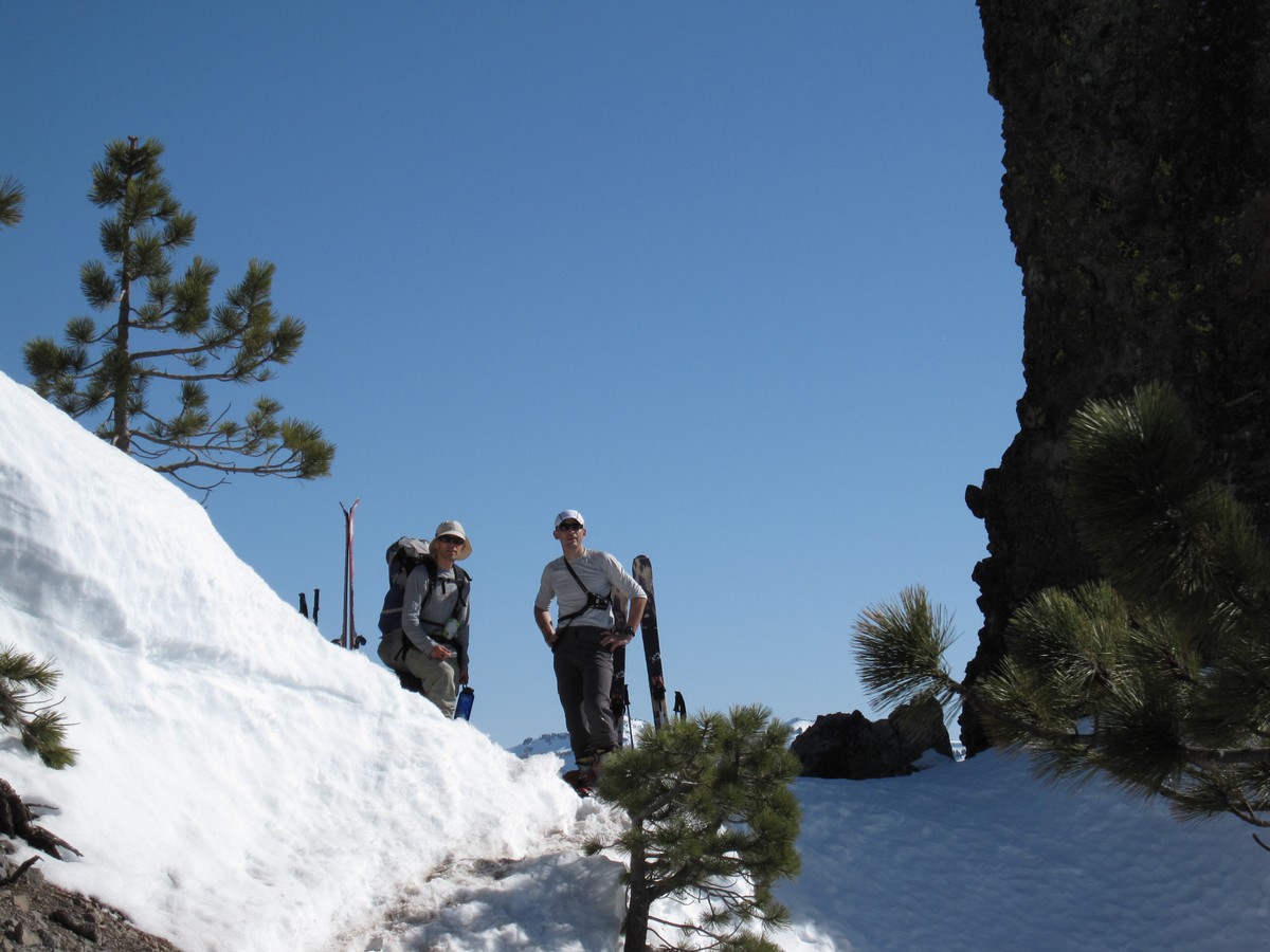
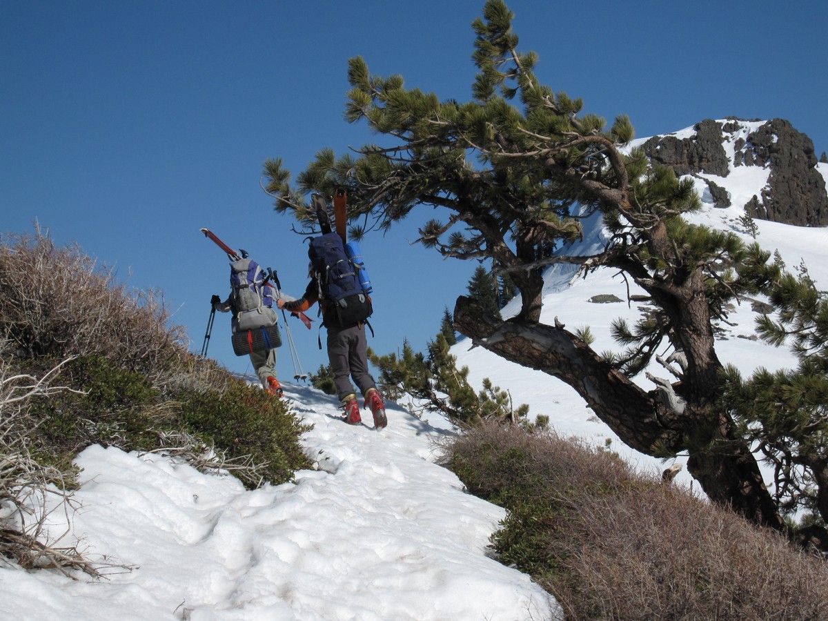
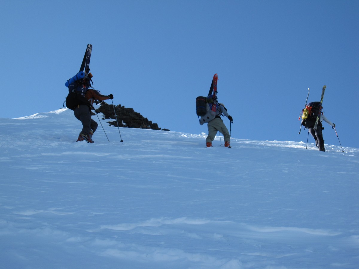
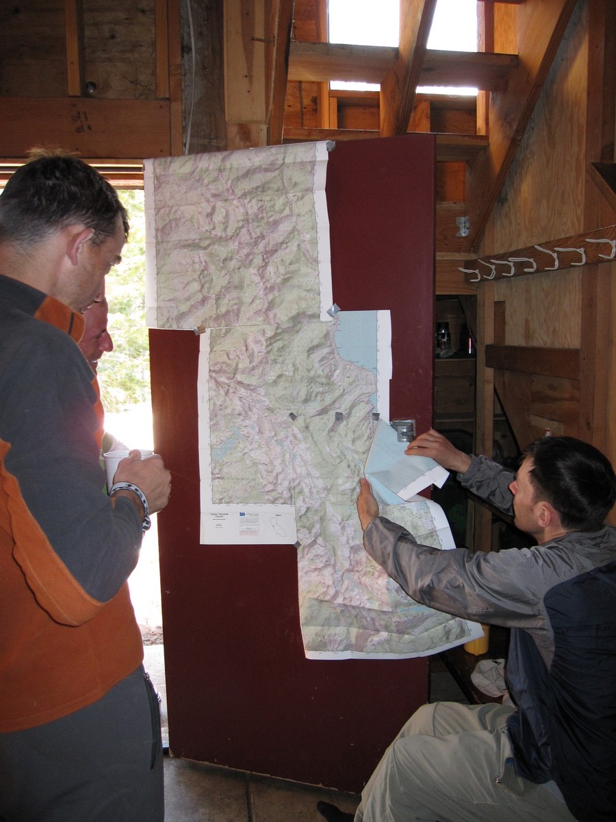
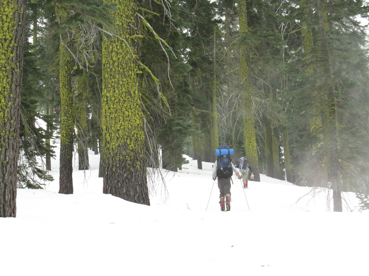
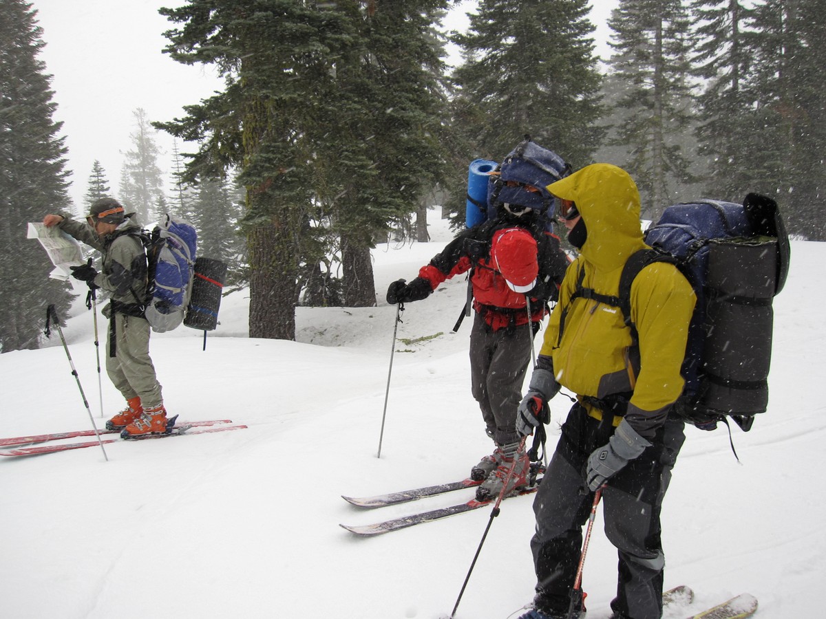
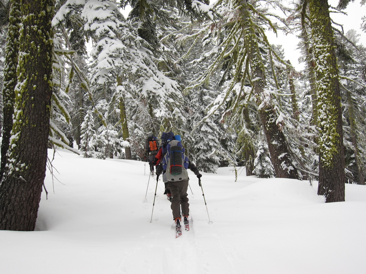
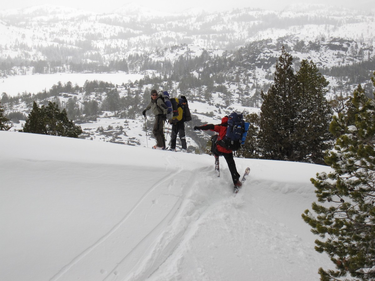
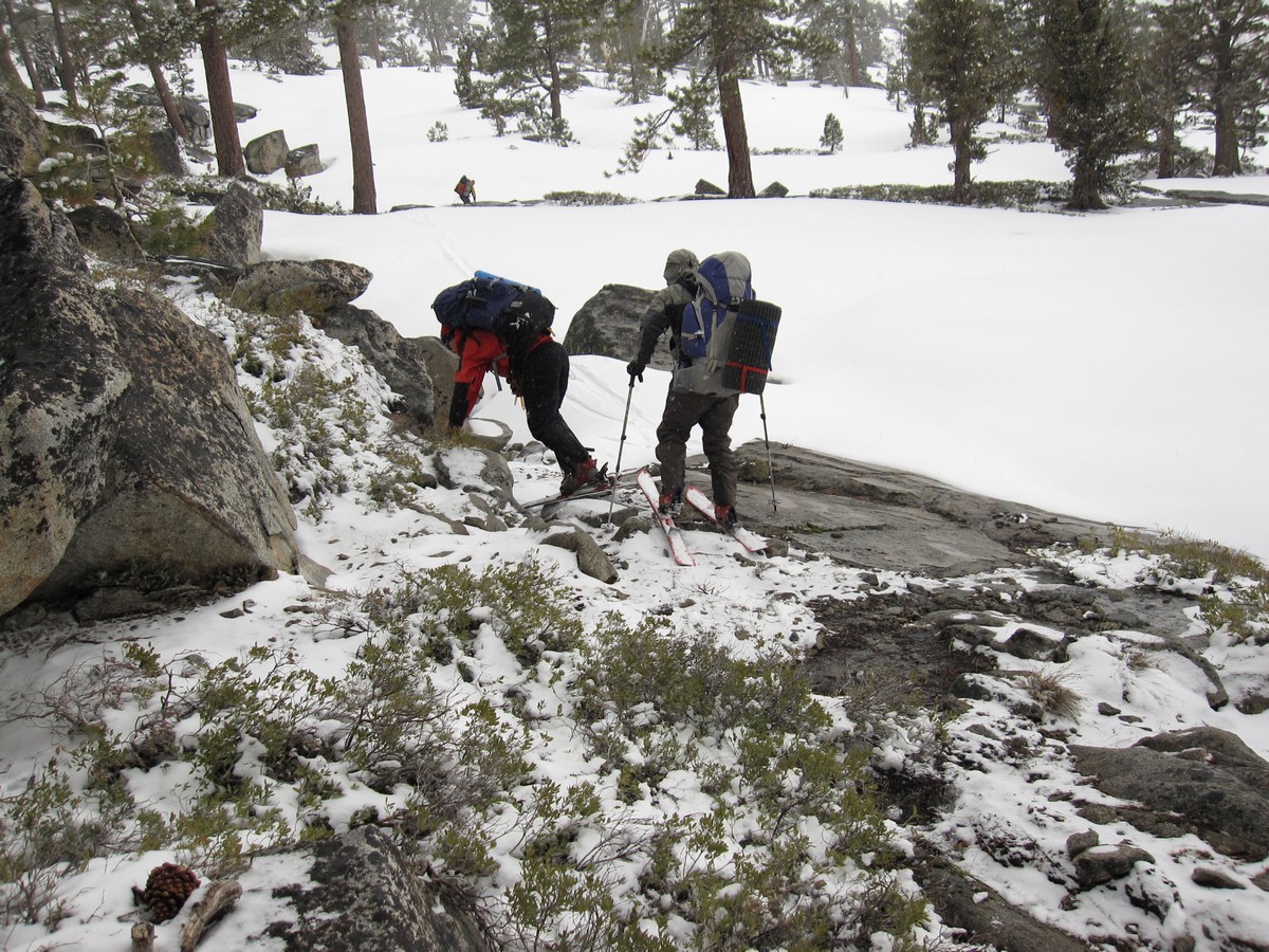
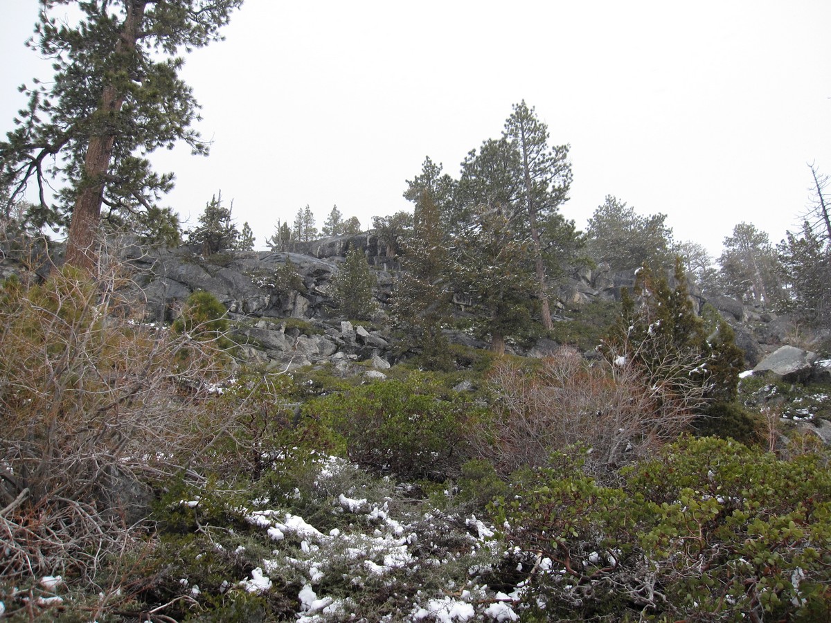
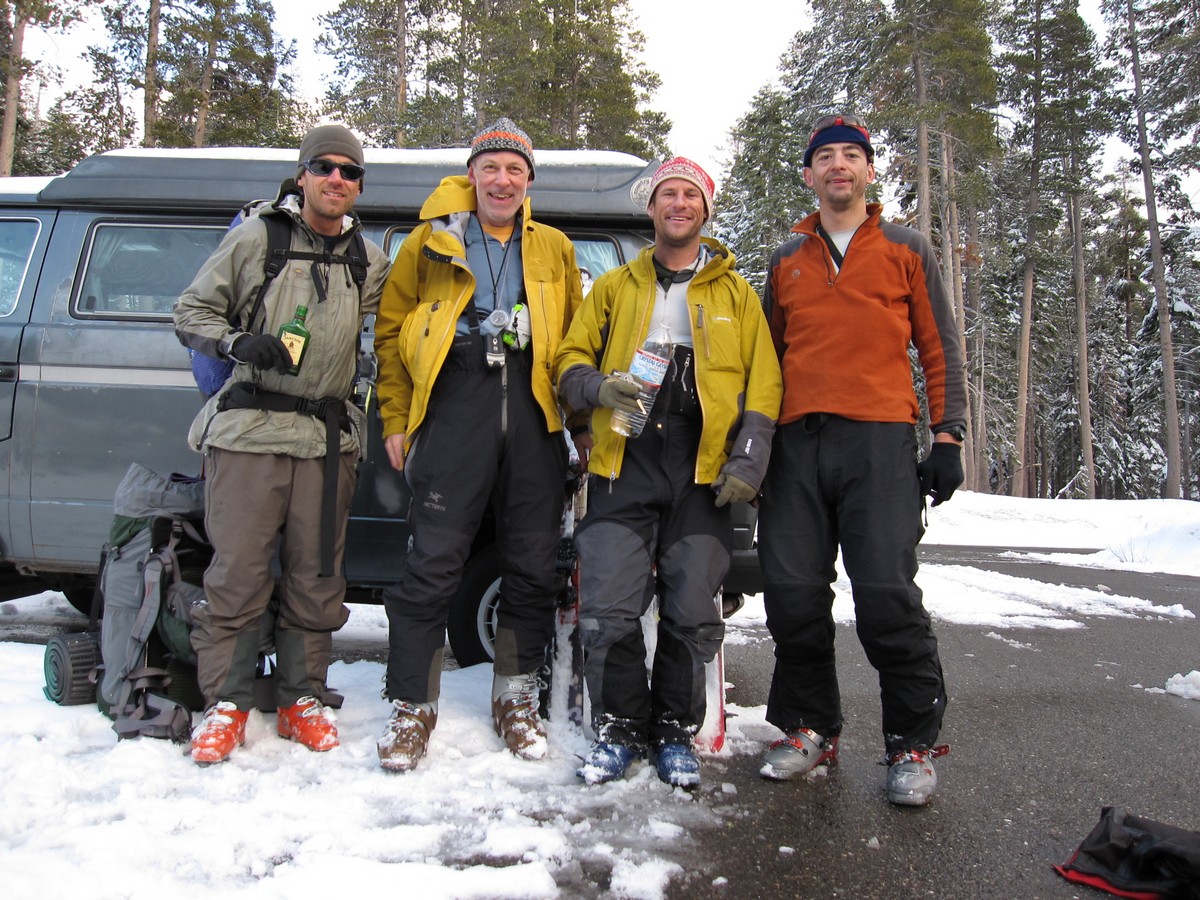
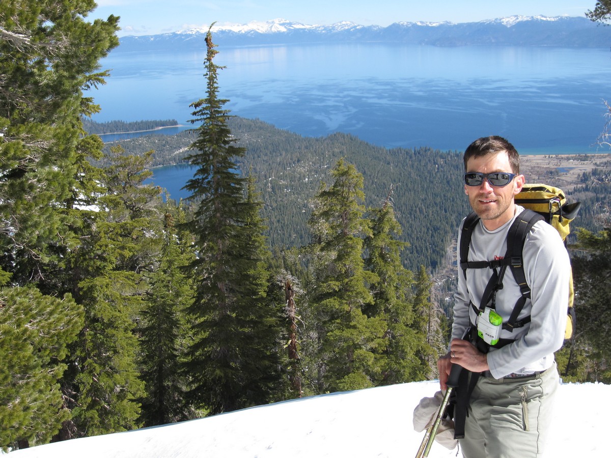
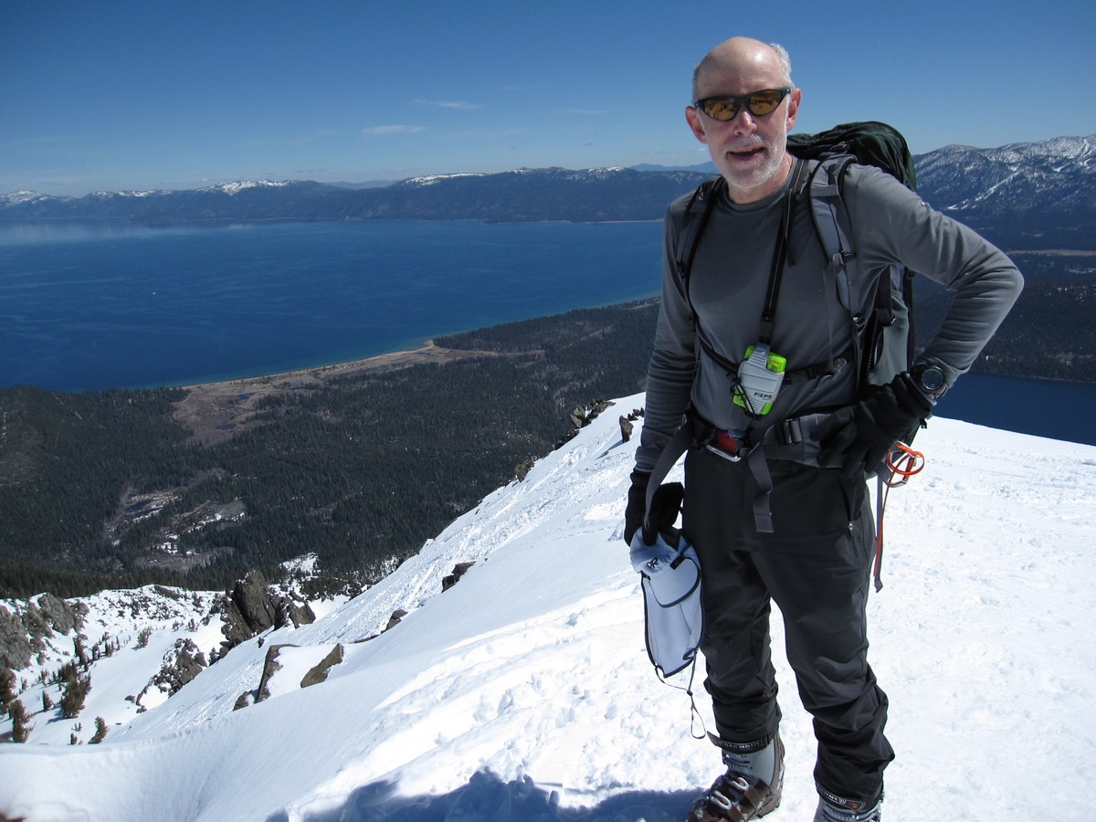
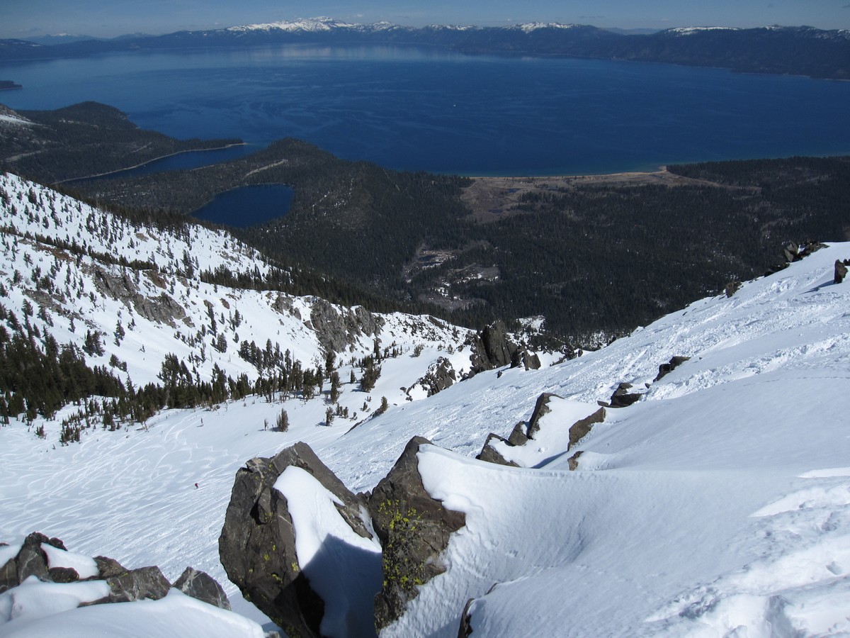
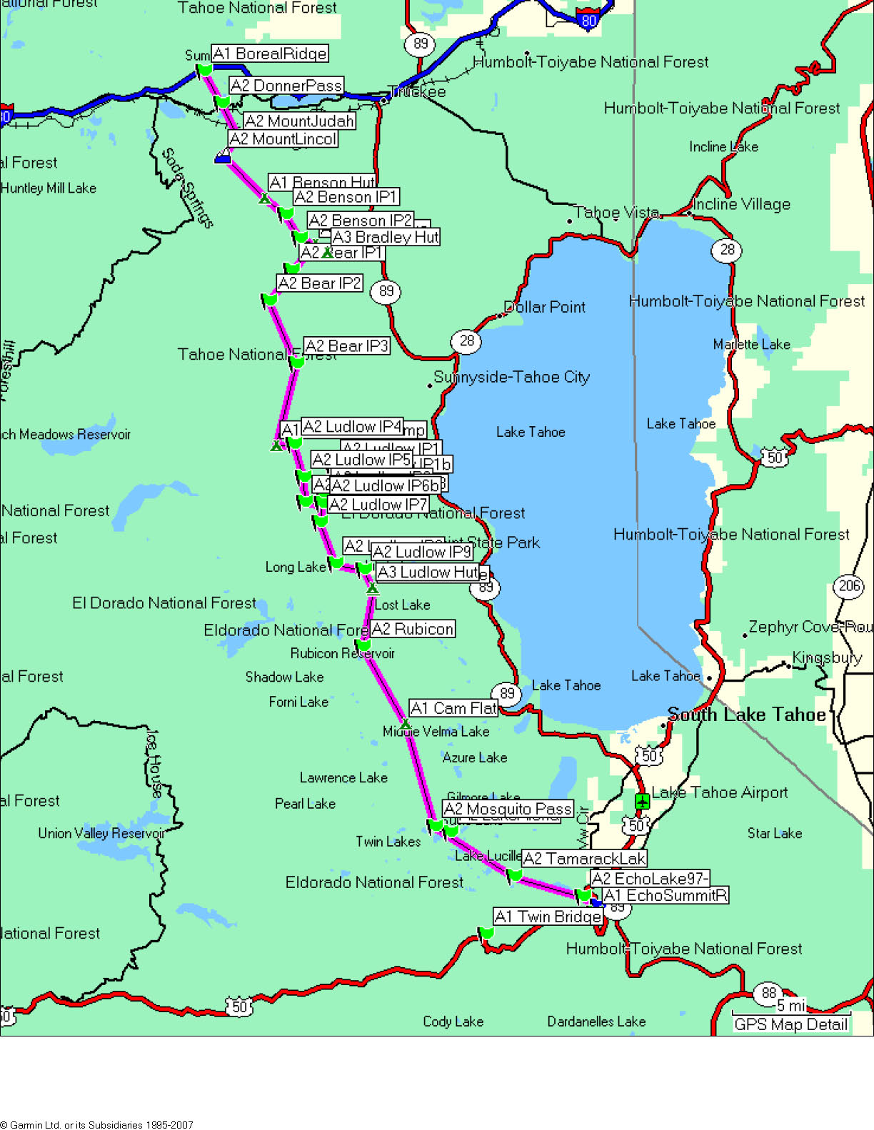
This wanna-be world-class ski-mountaineering traverse is a journey along the spine of the Sierras directly west of Lake Tahoe. Winding almost 60 miles through peaks and forest, the route connects I-80 on the North side of the Lake with I-50 on the South. There are no roads for the entire route, apart for Donner Pass Road in the first couple miles (where the Donner Party spent the winter of 1846 under 20 feet of snow, just miles from the western slope and the descent towards the Pacific Ocean and safety).

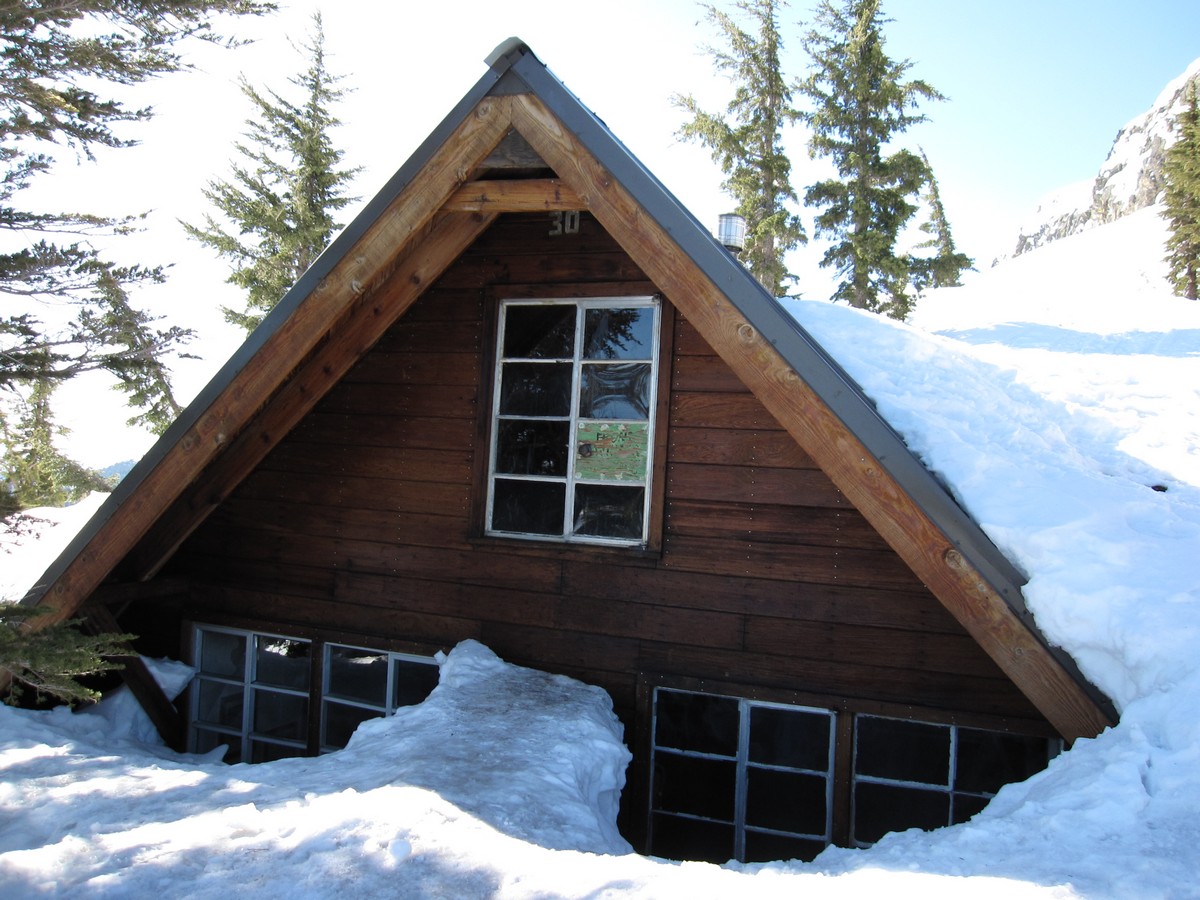
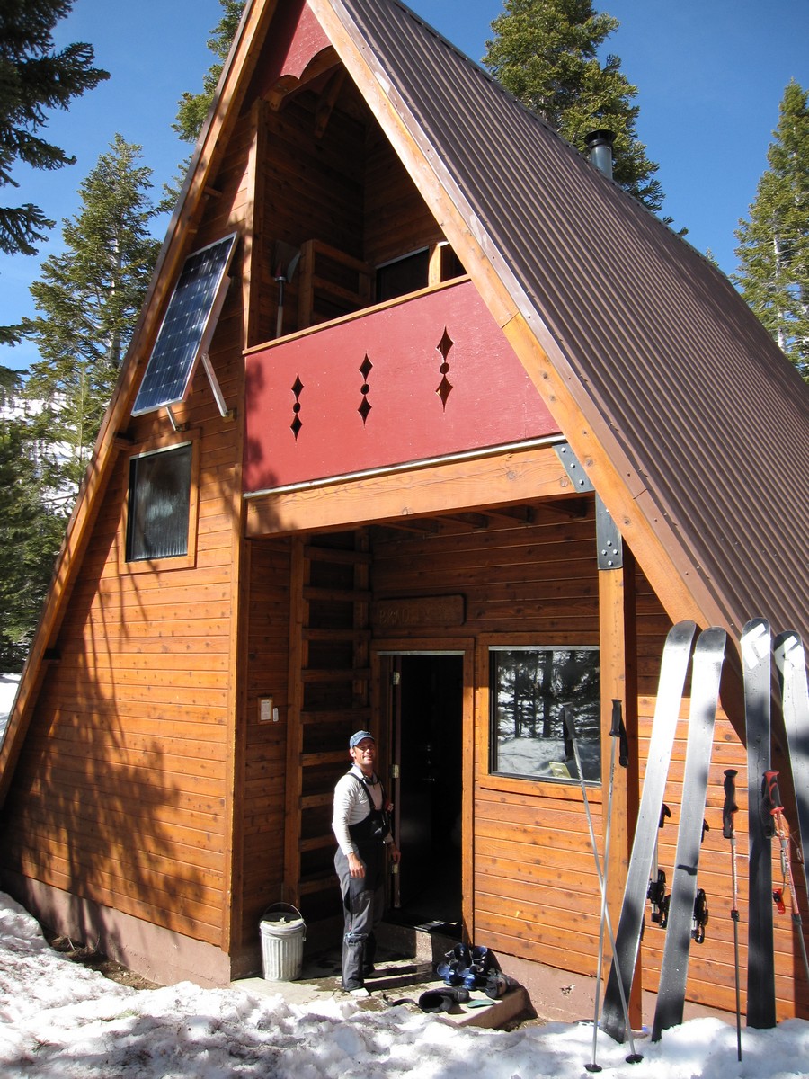
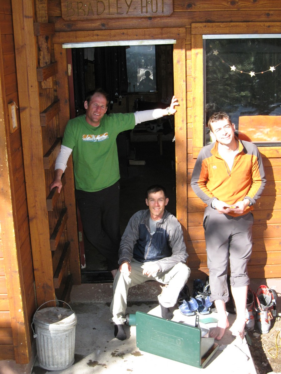
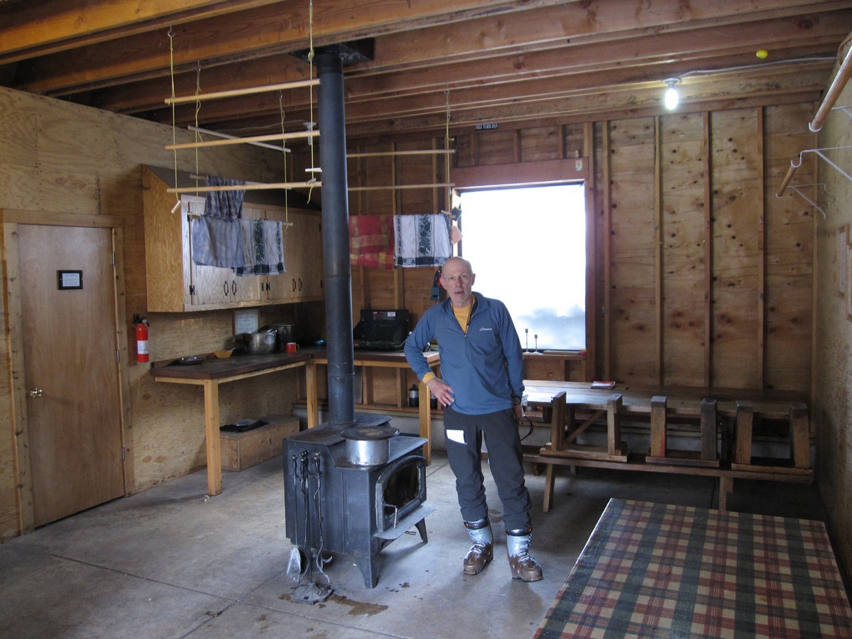
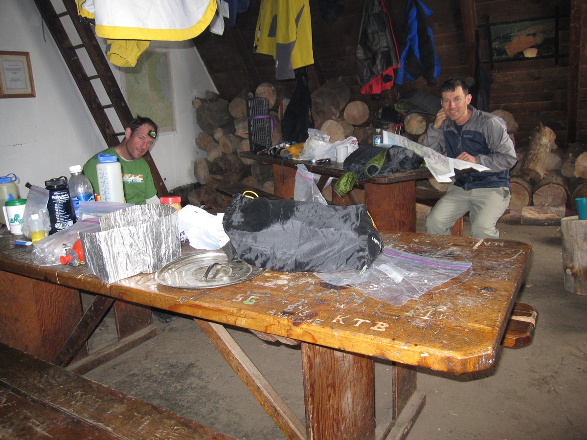
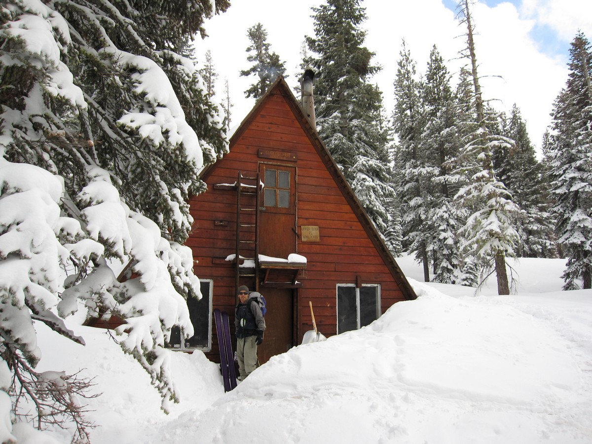
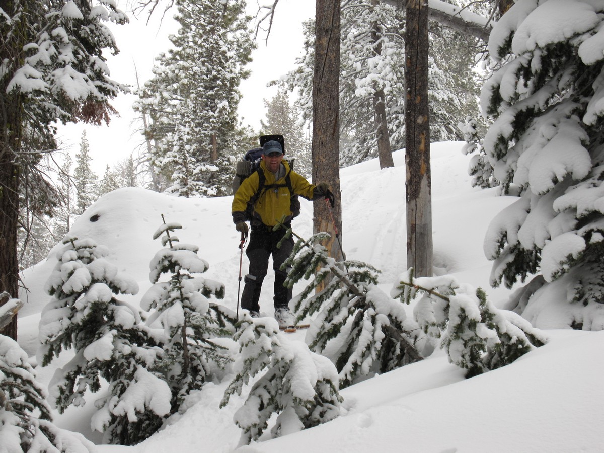
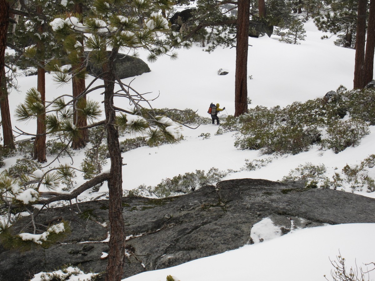
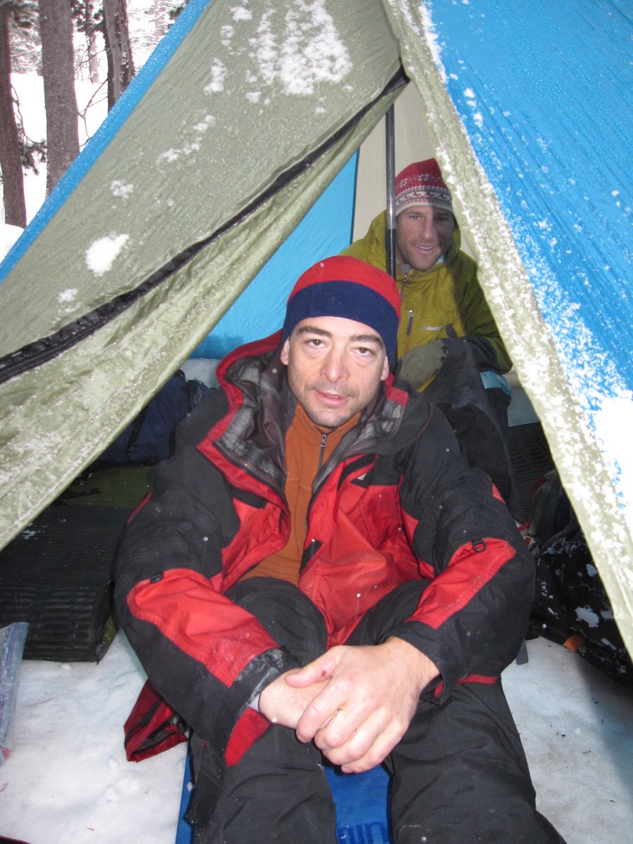
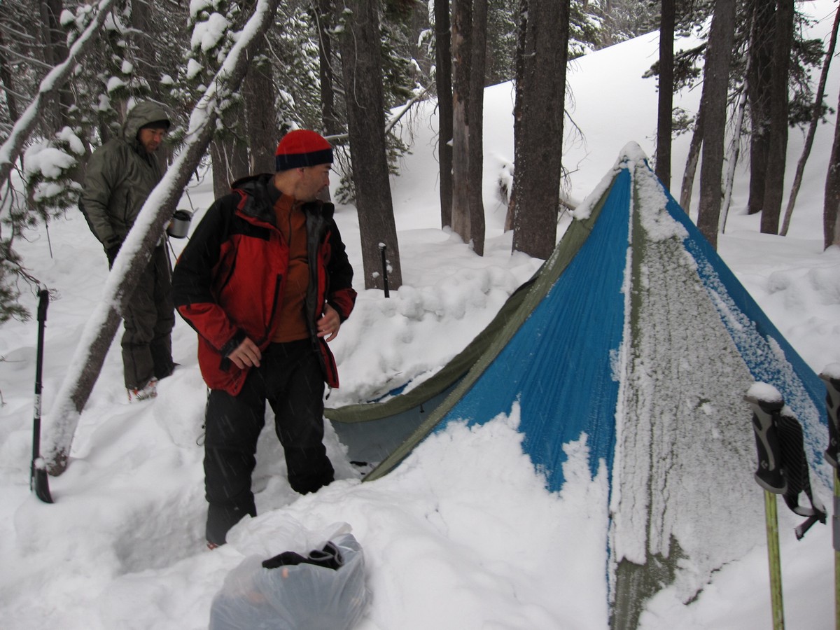
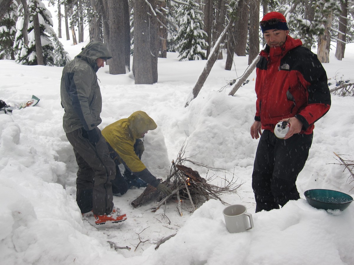
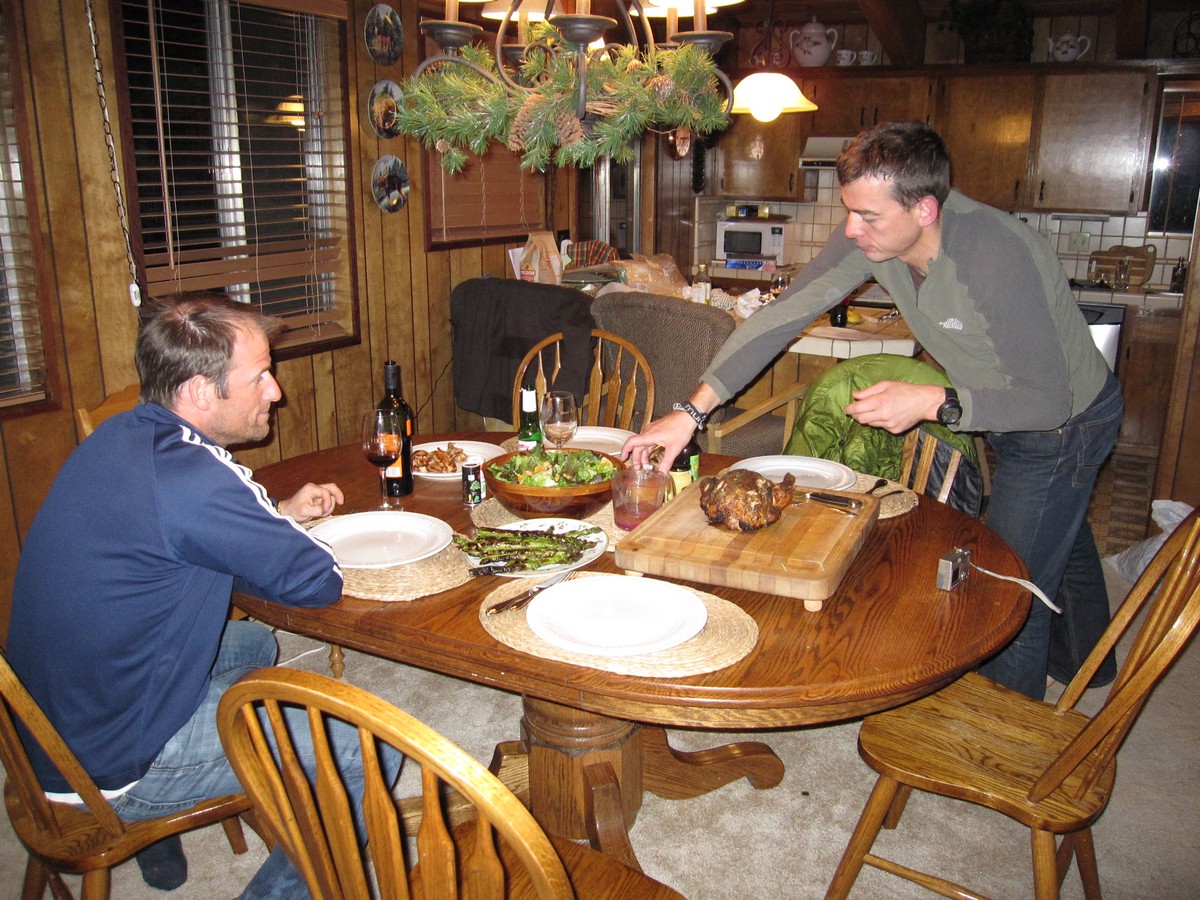
Starting at Boreal Ski resort off of interstate 80, the route crosses Donner Pass Road and then heads south, roughly following the Pacific Crest trail along the western slope of the Sierras. The traverse included three hut stays (Benson, Bradley and Ludlow), and one snow camp. The route ends at Echo Summit.

Google Earth Tour

A bird's-eye tour of the traverse. Copy this kmz file to your disk then "file" "open" and the file on your disk. Best to turn off lat/long grid ("View" unclick "Grid") and most importantly set Elevation Exageration to 3 (under "Tools - Options"). Then highlight the link/file in My Places.

Maps of each day's traverse

Day 1   Day 2  Day 3  Day 5  Day 6


    SUUNTO       GPS          
    Up Dn Laps Time Up Dn Time Distance Avg  
4-Apr-09 Jake's Peak, half day with friends of Lino's 2,400 2,450 1 3:33 2,870 2,870 3:11 3.5 1.1 Sunny
5-Apr-09 Day1 - Boreal ski area to Benson Hut 2,800 1,690 3 5:42 3,547 2,256 5:33 7.2 1.3 Sunny, started about noon, JH and TC climbed up to Anderson Peak at end of day, skied down a little. Nice corn.
6-Apr-09 Day2 - Benson Hut to Bradley Hut 2,560 3,420 3 6:10 3,860 4,476 6:33 7.2 1.1 Went W. of Anderson Peak, then screwed around on ridge. Eventually climbed down over rock and scree, then W of Billy's Peak. Dropped packs to ski down 1600 ft, then climbed back up and over saddle to Bradley Hut. Hut not at location shown on Google Earth.
7-Apr-09 Day3 - Bradley Hut to Ludlow Hut         6,968 7,183 14:23 21.9 1.5 A VERY rough day. Started at 7:40 vs. 7am goal. Through Squaw. Motored on other side doing downhill traverse. Sunny early day, then clouds started about 3pm in Powderhorn valley. At saddle, fog, then started to snow. Went from one shirt to full winter jacket. Wet snow on way down from saddle. Overtaken by dark towards Miller Creek and slowed considerably. Discussion about navigation and possibility of tenting for the night, but with GPS we could make it. Finally made it to Richardson Lake about 9:30, then had some trouble finding the hut.
8-Apr-09 Day4 - Ludlow Hut 839 839 1 1:40 1,220 1,180 1:40     TC & JH climbed Sourdough Hill. On-off snow all day
9-Apr-09 Day5 - Ludlow Hut to Campers Flat 1,330 1,530 1 6:42 2,049 2,346 5:55 8.1 1.4 Mainly snowing lightly. Snow camp, damp and uncomfortable. The descent to Rubicon reservoir was sketchy, having to down-climb for a way, although the ski before then was fun.
10-Apr-09 Day6 - Campers Flat to Echo Lake exit 1,770 1,730 2 9:12 3,871 3,772 10:17 14.2 1.4 Long day, with sun behind clouds and a little snow. Once over Mosquito Pass it was mainly flat across lakes.
            21,515 21,213 42.7 58.6    
12-Apr-09 Mt Tallac         3,724 3,447 3:39 4.6 1.3 TC & JH. Powder at the top, then steep in heavy snow and corn at the bottom. Out by 1pm.


Jake's Peak - before the Traverse

Lino   Jake's Peak

Day 1 - From Boreal to Benson Hut

Boreal  Out in the Backcountry    

Benson hut   Benson hut 

Day 2 - From Benson Hut to Bradley Hut

Anderson Peak    

Bradley Hut   Bradley Hut  Bradley hut


Day 3 - From Bradley Hut to Ludlow Hut


Bradley hut  Just below Squaw  Bradley to Ludlow  Lunch on the way to Ludlow

Lunch on the way to Ludlow  Bradley to Ludlow  Powderhorn creek  On the way to Ludlow

Ludlow hut  Ludlow hut 


Day 4 - Around Ludlow Hut

Ludlow hut  Near Ludlow


Day 5 - Ludlow Hut to Campers Flat

 Near Ludlow hut  Near Rubicon reservoir  Near Rubicon  Near Rubicon

Near Rubicon  Near Rubicon  Near Rubicon  Campers flat

Dinner


Day 6 - Campers Flat out to Echo Lake, and dinner Saturday

 Campers flat  Campers flat  Campers flat  Lake Aloha

Above Echo Lake  Echo Lake  End at Echo Lake Dinner

Mt Tallac on Sunday


Mt Tallac  Mt Tallac  Mt Tallac  Mt Tallac

Mt Tallac  Mt Tallac