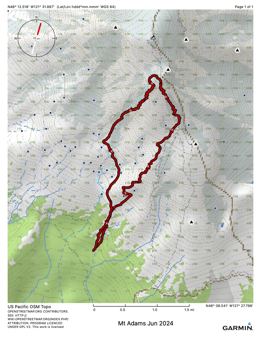
map showing the climb and descent
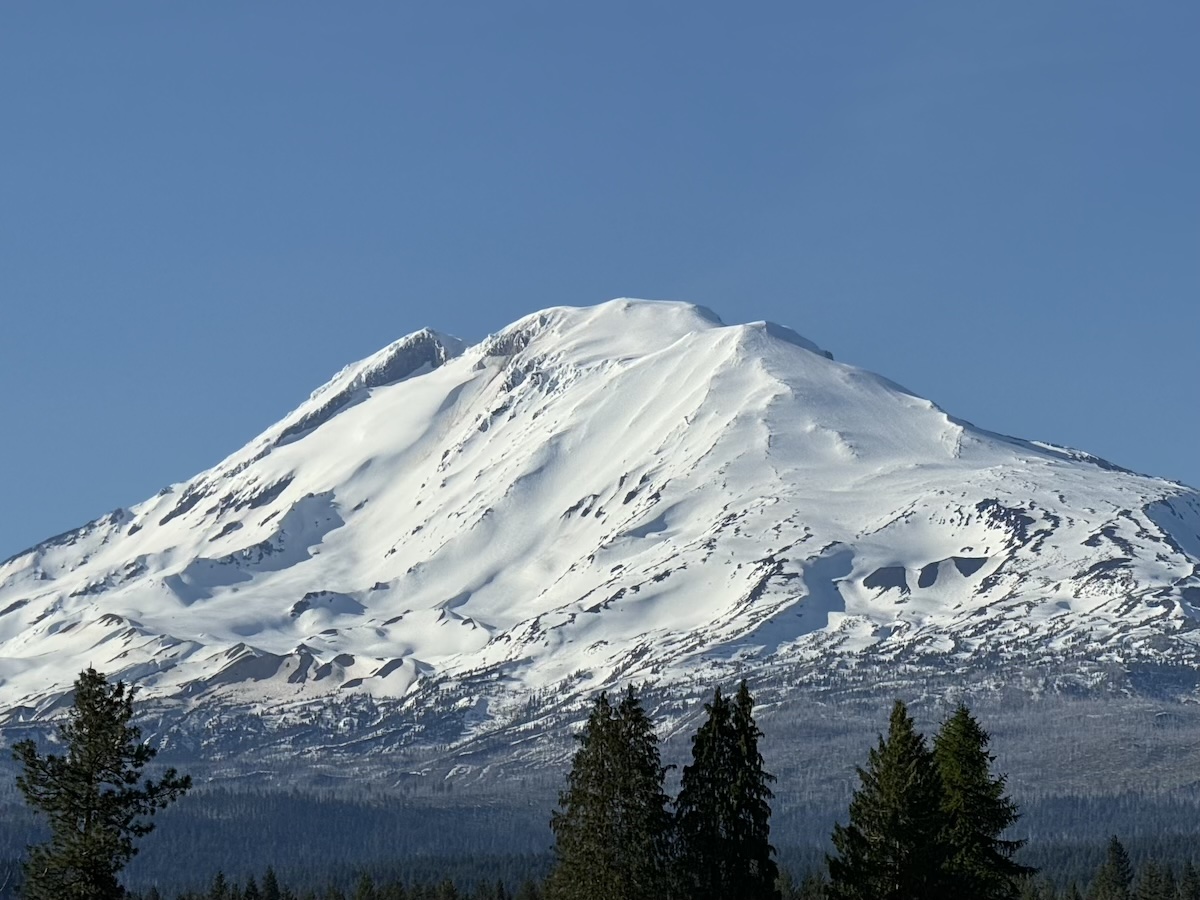
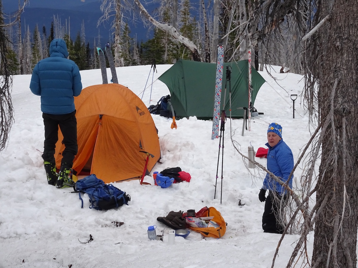
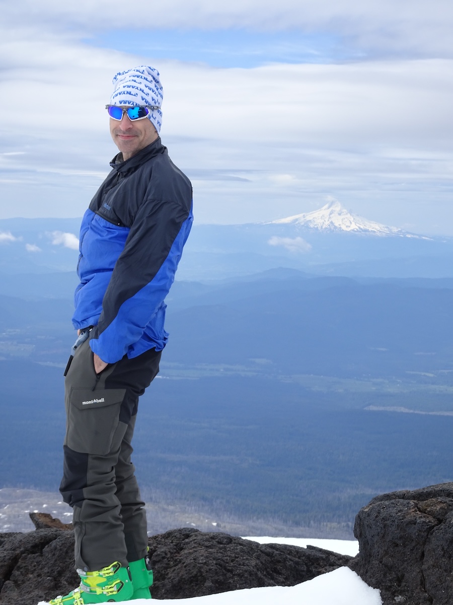
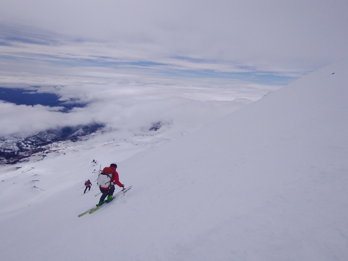
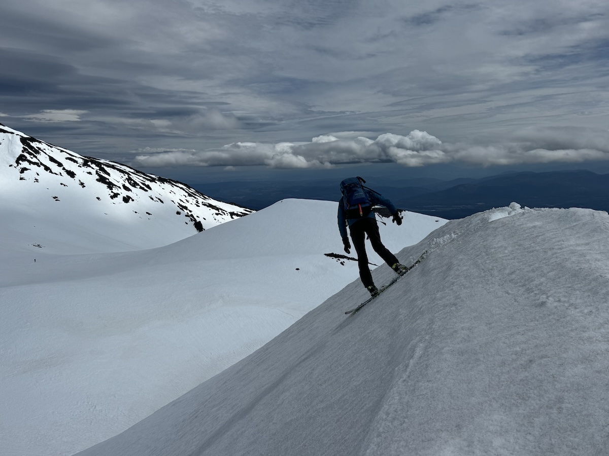
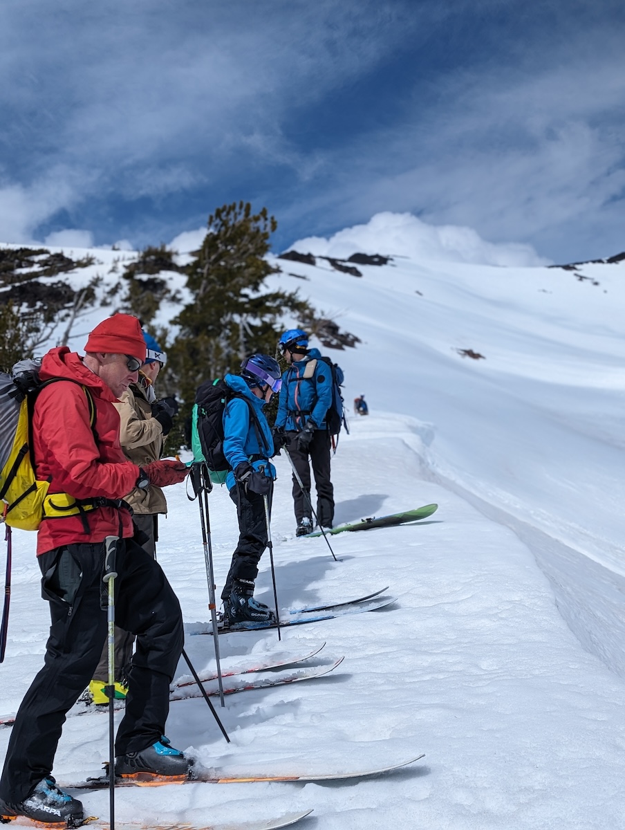
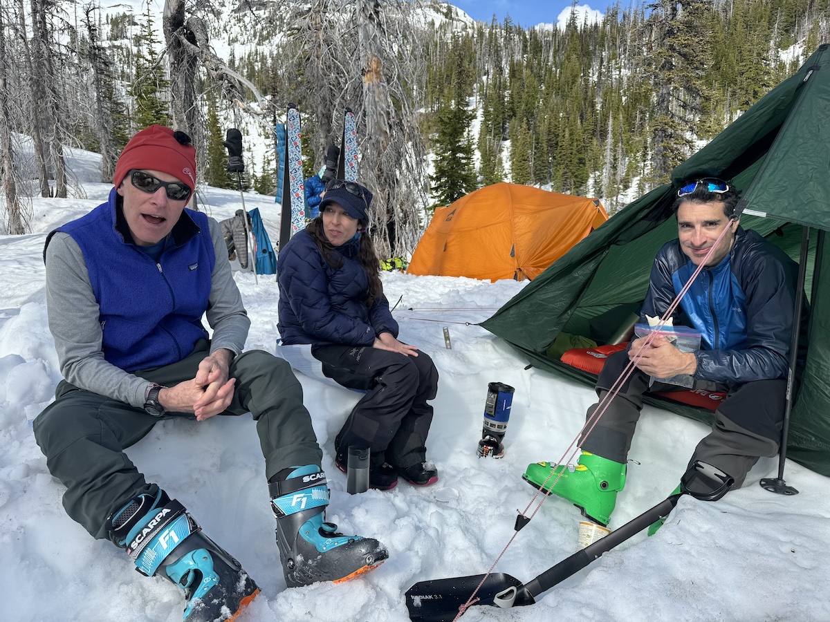
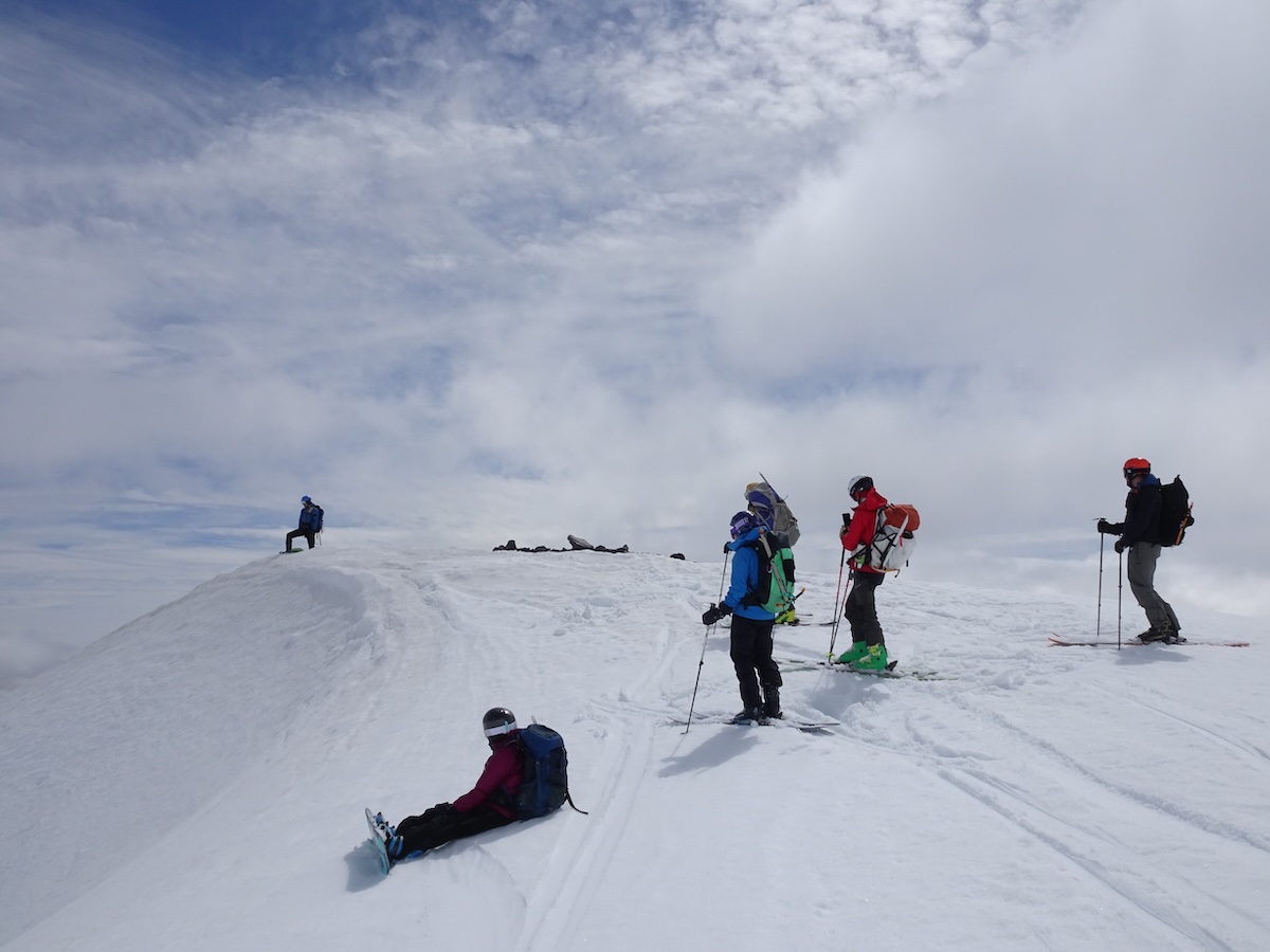
Mt Adams is one of the Pacific northwest's stratovolancos, standing at 12,281ft. The Southwest chute is a straight 3,000+ ft ski shot down from the false summit (at 11,480ft). Our group was Tom, Sue, John, Rodney, Amy, and Aaron. (And we came across Chris at the top of the chute.) We camped at about 5,700ft on Friday night and on Saturday climbed and skied down.
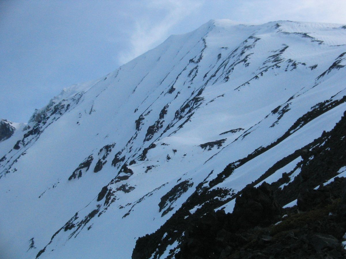
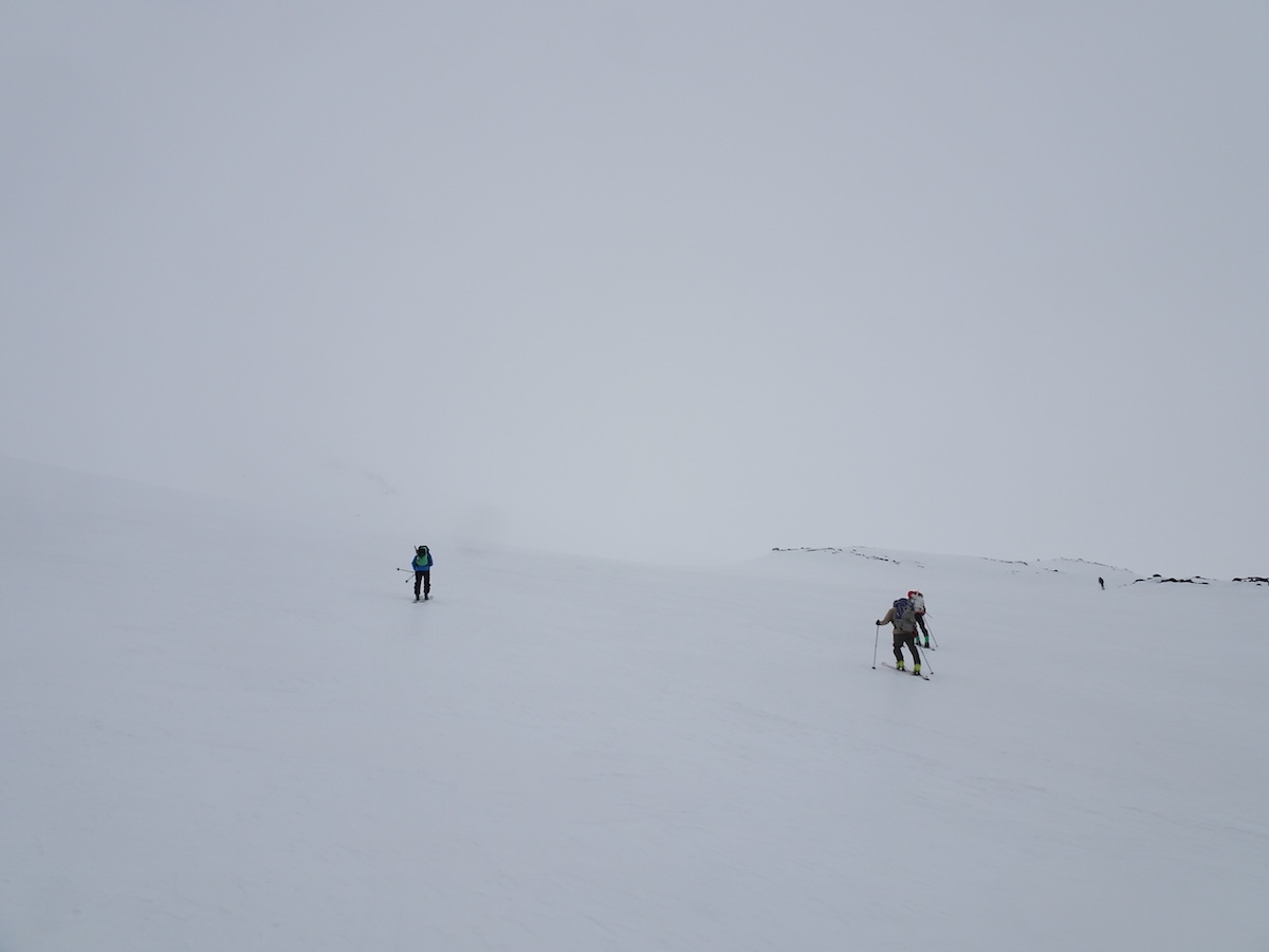
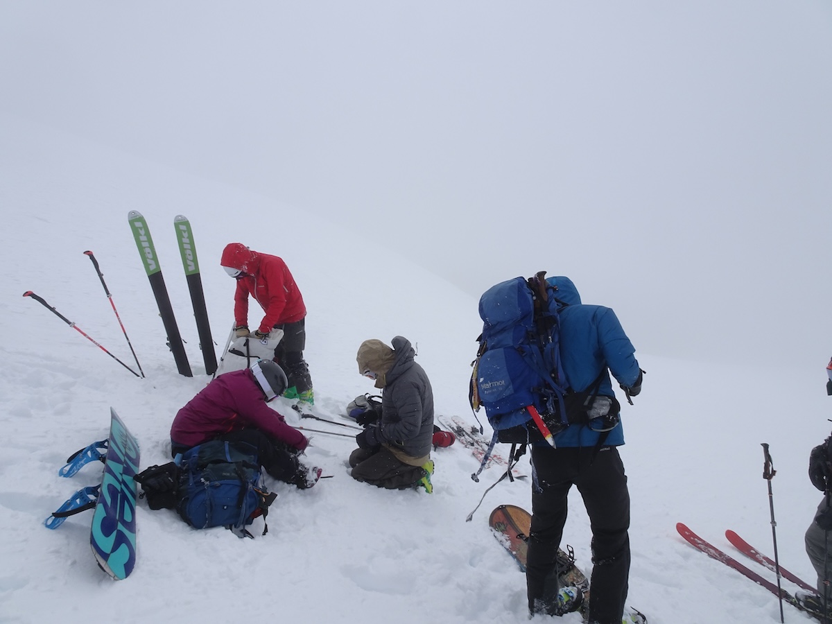
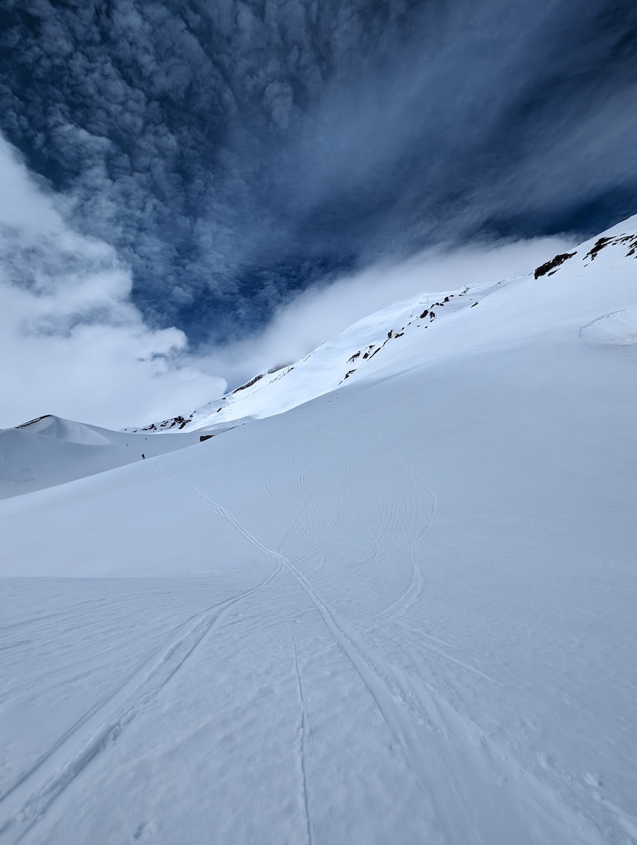
Our original plan was to have a leisurely hike into the campsite on Saturday, get up early on Sunday to hike up and ski down the SW chute, then maybe a half-lap on Monday. But weather changed everything. The forecast for Sunday was snow up high, rain low, and windy and cold everywhere. We hiked in late Friday, made camp just as night fell, and then a late start up on Saturday at 7:30am. The hike up was hard, maybe the hardest I've ever done. It was windy from mid-morning, and the last couple hours were fog, wind, rime, and maybe snow. Conditions were bad. At the top we met Chris, who was hiking over from the summit and joined us on the way down. The first 500ft were icy and sketchy. But from there down the fog cleared, the snow was soft, and the views spectacular.
Hike in: 2.4mi, 2hr, 1374ft ascent, 14ft descent. Saturdy Full: 9.1mi, 9hr 2min, 5707ft ascent, 5731 descent. Climb: 4.7mi, 7hr 44min, 5705ft ascent, 299ft descent. Ski Down: 3.8mi, 1hr 18min, 0ft ascent, 5437ft descent
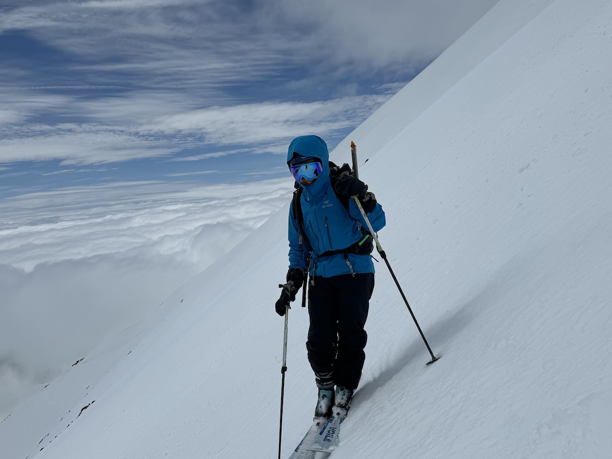
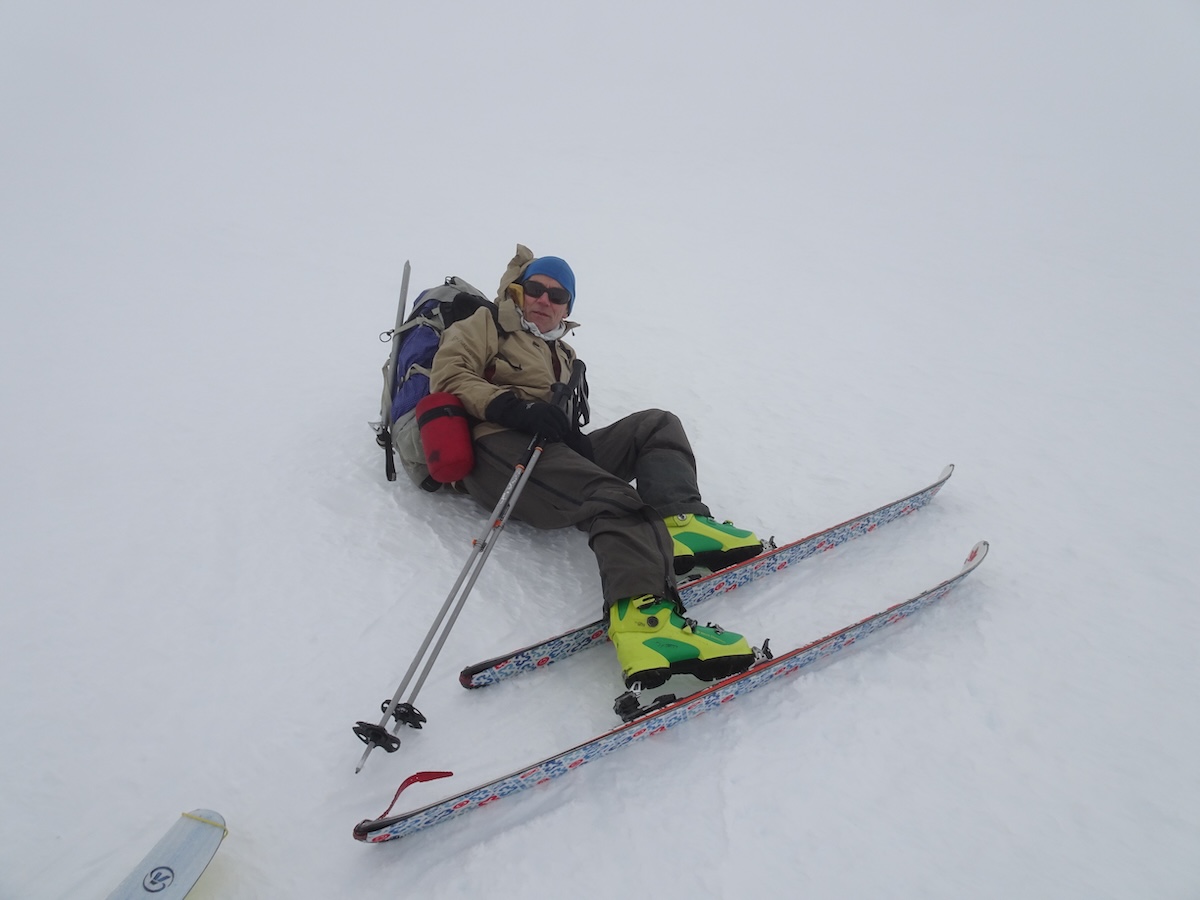
Sue part-way down the SW chute