5-11 May 2006
Tom, John H, Lino, Robin
ROUTE
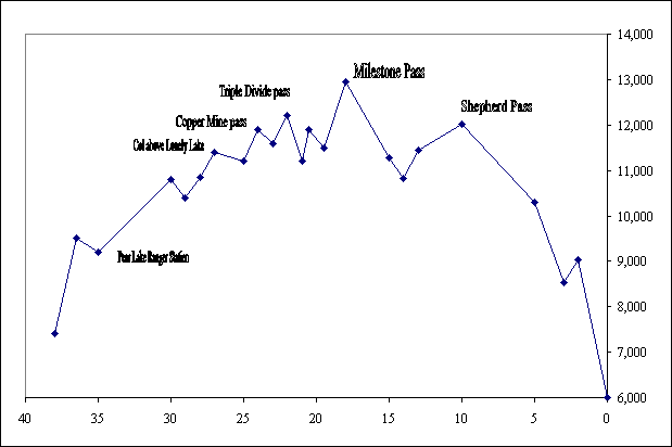
This is an east-to-west traverse of the high Sierras in California, starting near Independence CA and ending in the Sequouia National Park above Three Rivers CA. From the Symmes Creek Trailhead on the east side, over Shepherd’s Pass, 3-D pass, and Coppermine Pass, and out through the Giant Seqouias near Wolverton Ski Area. The trip is about 45 miles and should take 6 days en route. The route stays above 11,000 feet most of the trip, and includes over 10,000 feet of climbing, most of that in the first two days.
"This tour justifiably ranks as one of the finest ski tours in the world – high traverses, great ski descents, spectacular scenery, and exciting mountaineering challenges…" - Backcountry Skiing California’s High Sierra, John Moynier
The route is rated class 3-4 by Moynier, which means the route includes “very steep terrain (35-45 degrees)” and may involve belaying, anchoring, rappelling. Kit needed include basic gear for a day in the backcountry plus (possibly) an ice axe, 8 mil rope, crampons, some long slings, possibly chocks for anchoring belays.
PICTURES
TRIP CHRONOLOGY
Sierra Mountain
Center guides the route. We didn't use them,
but they do have a nice description
and map
Pictures and reports from OTHER SKI TRIPS
Pictures and reports from OTHER SKI TRIPS
TRIP CHRONOLOGY
| Meter | Meter | Feet | Feet | ||||||
| CAMP | NOTES | Ascent | Descent | Ascent | Descent | Laps | Time | ||
| Friday | 5-may-06 | Symm's Creek Corral | Two miles from trail-head | 0 | 0 | 0 | 0 | 0 | 0 |
| Saturday | 6-may-06 | Above Anvil Camp, about 3150m | Hike up, mainly on dirt. | 1,411 | 162 | 4,630 | 530 | 1 | 10:00 |
| Sunday | 7-may-06 | Milestone Creek basin, about 3340m | Hike up to and over Shepherd's pass, down to headwaters of Kern, and up into Milestone Creek basin. | 805 | 521 | 2,640 | 1,710 | 0 | 10:30 |
| Monday | 8-may-06 | Milestone Creek basin, about 3340m | Stay in Milestone Creek basin for ski day. Skin half-way up Midway. Robin, John, Steve took another lap on a closer face. | 567 | 567 | 1,860 | 1,860 | 1 | 5:00 |
| Tuesday | 9-may-06 | Below 'No-name pass', about 11,800? | Ski up and over Milestone Pass (about 3920m) then down Milestone bowl and up over 'No-name Pass' at about 12,000ft. Set up the MegaMid below the pass to escape the mid-day sun, and camp. | 780 | 607 | 2,560 | 1,990 | 2 | 7:40 |
| Wednseday | 10-may-06 | About 10,840ft at big rock above Lonely Lake. | Up and over Triple Divide pass, down around Glaciery Lake, contour to Copper Mine Pass, then continue to contour to the pass above Lonely Lake. | 503 | 689 | 1,650 | 2,260 | 3 | 5:20 |
| 10-may-06 | Short ski tour from Lonely Lake | 223 | 223 | 730 | 730 | 1 | 1:50 | ||
| Thursday | 11-may-06 | Out of Lonely Lake, over the Tablelands, to Pear Lake. | 155 | 643 | 510 | 2,110 | 2 | 4:40 | |
| 11-may-06 | Take a couple laps from Pear Lake Ranger Station | 213 | 213 | 700 | 700 | 2 | 1:20 | ||
| 11-may-06 | Up and over the hump, then down to Wolverton | 180 | 738 | 590 | 2,420 | 2 | 2:50 | ||
| TOTAL | 4,837 | 4,362 | 15,870 | 14,310 | 48:40 |
APPROXIMATE
ALTITUDE PROFILE
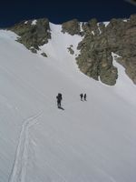
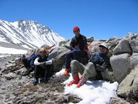
Climbing to Shepherd's
Pass, and
rest-stop at top
Starting from Shepherd's towards Milestone. Looking back towards Shepherd's Milestone in the background
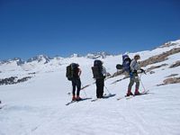
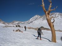
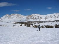
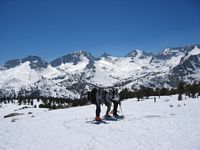

Starting from Shepherd's towards Milestone. Looking back towards Shepherd's Milestone in the background

TUESDAY
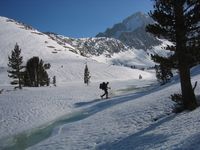
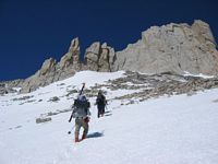
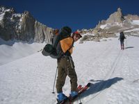
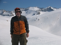
Skining and hiking up towards Milestone pass.
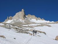
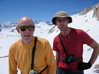
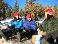
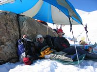
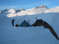
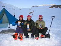
Resting from the sun below 'No-name' pass. Tom as 'Babushka', Camp and Dinner
Skining and hiking up towards Milestone pass.

Resting from the sun below 'No-name' pass. Tom as 'Babushka', Camp and Dinner


WEDNESDAY
In camp below 'No-name' pass At the top of Triple Divide pass
Getting ready to ski through Cloud Canyon. Heading towards Copper Mine pass
Looking back towards the
pass above
Lonely
Lake
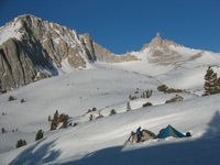
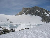
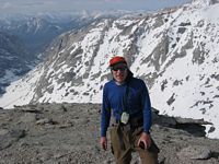
On the point NW above Lonely Lake
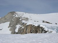
Campsite at Lonely Lake
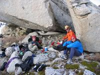
Campsite at Lonely Lake
